


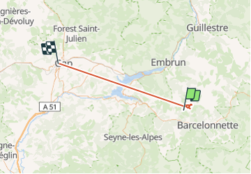
lacs et Col de l'Aupillon. 13/07/23

Dervalmarc
User

Length
52 km

Max alt
2799 m

Uphill gradient
4618 m
Km-Effort
118 km

Min alt
726 m

Downhill gradient
5851 m
Boucle
No
Creation date :
2023-07-13 06:52:02.708
Updated on :
2023-07-13 18:00:04.975
5h35
Difficulty : Medium

FREE GPS app for hiking
 SityTrail
IGN / Geographical institutes
SityTrail Plus
The world is yours!
About
Trail Walking of 52 km to be discovered at Provence-Alpes-Côte d'Azur, Alpes-de-Haute-Provence, Les Thuiles. This trail is proposed by Dervalmarc.
Description
Attention au sentier de descente à gauche en descendant des lacs.
Très raide.
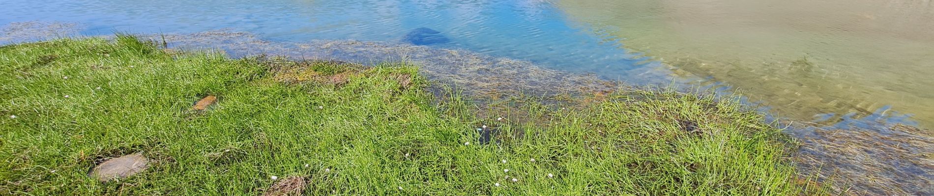
Photos


Positioning
Country:
France
Region :
Provence-Alpes-Côte d'Azur
Department/Province :
Alpes-de-Haute-Provence
Municipality :
Les Thuiles
Location:
Unknown
Start:(Dec)
Start:(UTM)
305479 ; 4922339 (32T) N.
Comments